
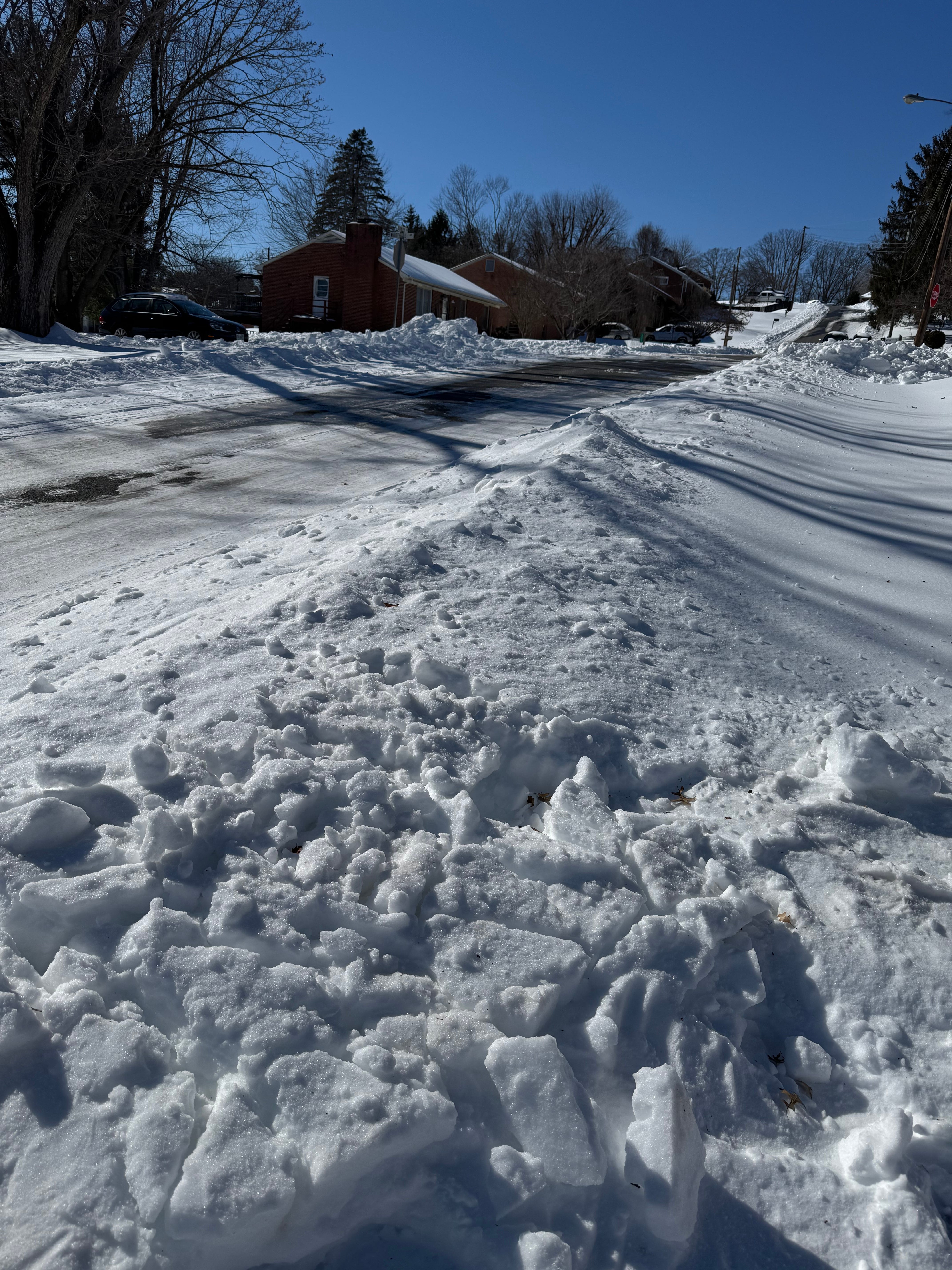
Wooly worms, persimmon seeds, corn husk thickness. Every fall, the Valley runs its own informal winter forecast, and none of it holds up to scrutiny. This year there’s a real signal instead, and it comes from the Pacific Ocean.
NOAA’s Climate Prediction Center has been tracking one of the strongest El Niño events on record, and its reach extends to Massanutten and the Blue Ridge. The winter ahead looks wet but warm, and whether that produces snow on Reddish Knob depends almost entirely on timing.
Three Degrees Above, and Climbing
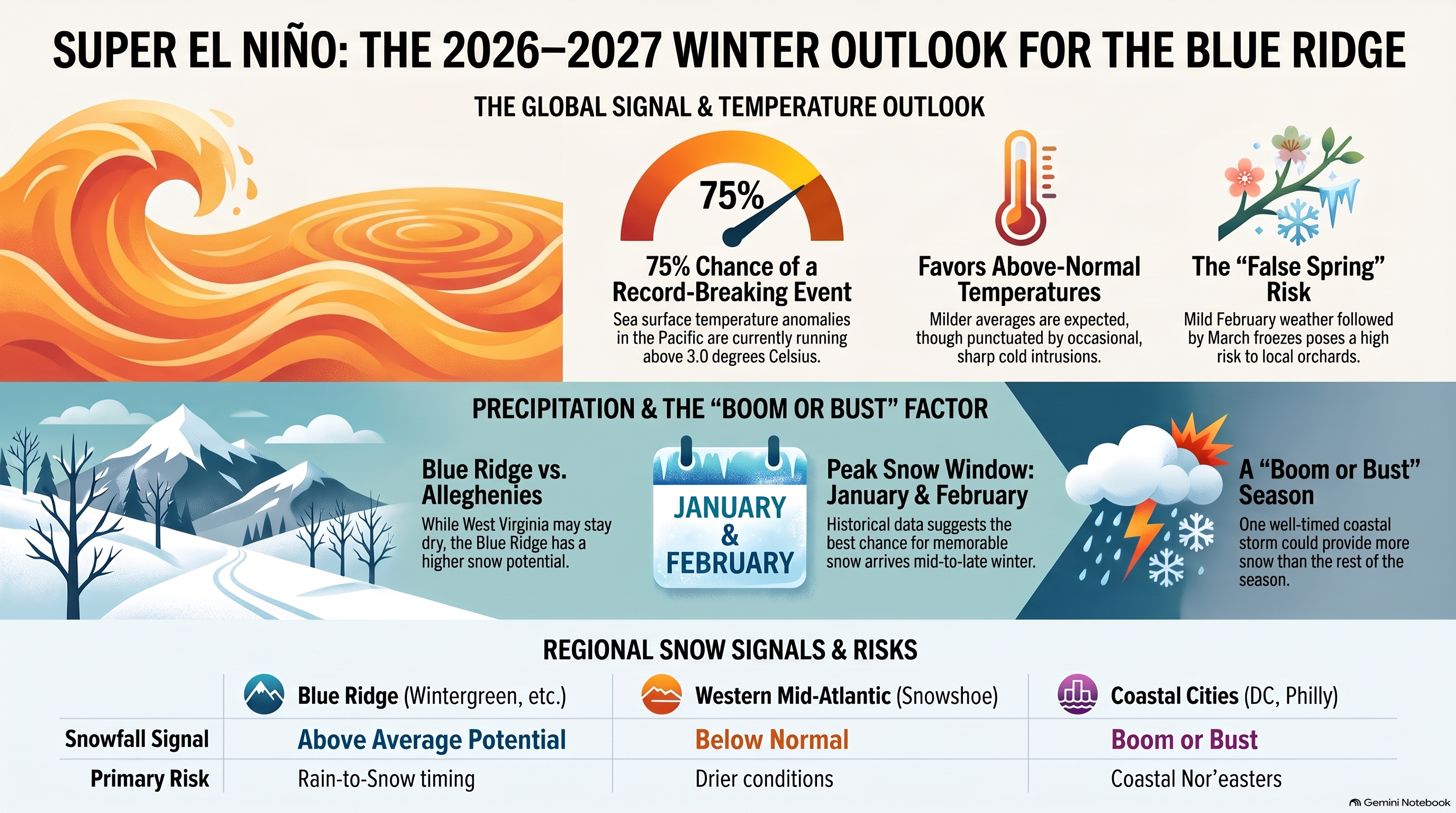
El Niño is a warming of surface waters in the central and eastern Pacific. NOAA’s latest diagnostic discussion, issued September 10, shows the current event still strengthening. Sea surface temperature anomalies in the eastern equatorial Pacific now exceed 3.0 degrees Celsius. NOAA’s model synthesis puts the odds at 75 percent that this event surpasses every El Niño on record dating back to 1950. The agency’s headline figure, a greater than 90 percent chance of a “very strong” event this fall and winter, has held for months and is now close to certain in NOAA’s own internal tables.
Michelle L’Heureux, a physical scientist with the Climate Prediction Center, told reporters this month that a stronger El Niño increases the odds of certain outcomes without guaranteeing them. That distinction is important for Virginia, where the numbers point in two different directions at once.
Wet, but Not Here Specifically
NOAA’s seasonal outlook, issued August 20 and covering September through November, favors above-normal temperatures across the Mid-Atlantic. On precipitation, the strongest wet signal in that outlook sits over the Southwest and the coastal Southeast and Gulf. Virginia’s interior isn’t part of that strongest band. The state sits in more ambiguous territory on NOAA’s own precipitation map, a detail that gets lost in national headlines built around the Southwest ski season.
The Coin Flip Over Wintergreen
OpenSnow’s 2026-27 winter forecast, built from historical analog years for strong El Niño events, draws a line across the Mid-Atlantic. West Virginia, Maryland, and western Pennsylvania, home to Snowshoe and Canaan Valley, carry a below-normal snowfall signal. Virginia carries an “equal chances” designation instead. OpenSnow names Wintergreen specifically, alongside Beech Mountain and Sugar Mountain in North Carolina, as terrain that benefited in past strong El Niño winters when cold air and an active storm track lined up at the same time.
A warmer winter can turn a wet storm into cold rain at valley elevations without much trouble. The open question for this region is whether the air is cold enough when the moisture arrives.
OpenSnow’s analog data points to January and February as the strongest window for snow in the Southern Appalachians, the stretch from North Carolina through Virginia and West Virginia. Early and late season lean neutral to below normal by comparison. A Christmas snow looks less likely than one in late January.
Boom or Bust
Multiple forecasters, including OpenSnow and the Farmers’ Almanac, describe East Coast snowfall in strong El Niño winters as boom or bust. Coastal storms and Nor’easters track farther north than usual, and when one lines up with a cold snap, a single storm can carry an entire season’s snow total. When it doesn’t line up, the season passes with almost nothing.
Washington, Baltimore, and Philadelphia have the same reputation in past El Niño winters, and the interior Valley isn’t exempt from the same math. One well-timed system could outproduce the rest of the winter combined. Or the pattern stays too warm too often, and most storms fall as rain even in January.
The Farmers’ Almanac calls the Northeast and Mid-Atlantic “changeable” this season, and notes the El Niño signal weakens once you cross the Appalachians. That tracks with OpenSnow’s read on Virginia: real upside, no guarantee.
The Orchard Problem
NOAA’s own outlook backs the warmer lean directly. Strong El Niño winters still produce sharp, short cold intrusions. They arrive less often than in a typical or La Niña winter, when Arctic air pushes south more easily.
That pattern, mild stretches broken by hard freezes, has caught Valley orchards before. A warm February followed by a March freeze is a known risk in El Niño years, and growers should plan for it rather than assume a mild winter means an easy spring.
When to Actually Watch the Sky
Virginia’s higher terrain has real potential this winter, even without a strong precipitation signal from NOAA’s own maps. January and February carry the best odds, so a flexible plan will serve hikers and photographers better than one built around the solstice.
For anyone who dreads ice more than snow, the uncertainty runs the other way. A warm, active winter means slush and freezing rain are just as likely as a clean snowfall, and those conditions tend to cause more trouble on Valley roads.
NOAA’s full Winter Outlook, the flagship seasonal product with a public briefing, has landed on the third Thursday of October for the past several years. That puts this year’s release at October 15. Check it directly once it’s out, at cpc.ncep.noaa.gov.
Until then, a ten-day forecast will tell you more than any seasonal outlook, especially in a winter this likely to swing between extremes.